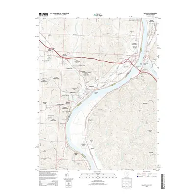
2013 Map of Gallipolis
USGS Topo · Published 2013About this map
The Ohio River serves as the central artery for this region, marking the boundary between Gallipolis in Ohio and the West Virginia settlements of Point Pleasant and Henderson. In the early 21st century, the landscape shows a high density of residential growth through numerous developments like Plantz Subdivision, Westbrook Village, and River Bend Subdivision. The river's influence is evident in the cluster of transit points, including Baileys Landing, Walkers Landing, and Long Landing.
Find a feature on this map
157 named features on this map. Tap any name to fly to it.
Don’t see what you’re looking for? This feature index may not catch every label — zoom into the map to look around manually.
Map Details
Editions of this 2013 Gallipolis Map
This is the sole edition of this map. No revisions or reprints were ever made.
Other maps of this area

1906 · Bidwell
USGS Topo · 1:62,500

1906 · Athalia
USGS Topo · 1:62,500

1906 · Glenwood
USGS Topo · 1:62,500

1908 · Bidwell
USGS Topo · 1:62,500

1908 · Athalia
USGS Topo · 1:62,500

1908 · Glenwood
USGS Topo · 1:62,500

1908 · Point Pleasant
USGS Topo · 1:62,500

1926 · Point Pleasant
USGS Topo · 1:62,500

1929 · Point Pleasant
USGS Topo · 1:62,500

1957 · Beech Hill
USGS Topo · 1:24,000