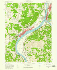
1958 Map of Gallipolis
USGS Topo · Published 1960About this map
The Ohio River dominates the center of this 1958 survey, serving as the border between Gallipolis, Ohio, and Point Pleasant, West Virginia. This confluence region is a dense network of river-and-rail infrastructure, where the Kanawha River meets the Ohio near the Chesapeake and Ohio and Baltimore and Ohio railroads. The map captures Gallipolis as a regional hub, featuring the expansive Gallipolis State Institute, the Gallia Academy, and civic landmarks like the Courthouse and City Hall.
Find a feature on this map
73 named features on this map. Tap any name to fly to it.
Don’t see what you’re looking for? This feature index may not catch every label — zoom into the map to look around manually.
Map Details
Editions of this 1958 Gallipolis Map
4 editions found
Other maps of this area
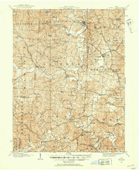
1906 · Bidwell
USGS Topo · 1:62,500
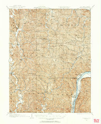
1906 · Athalia
USGS Topo · 1:62,500
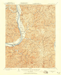
1906 · Glenwood
USGS Topo · 1:62,500
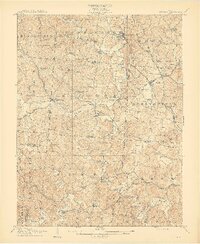
1908 · Bidwell
USGS Topo · 1:62,500
1908 · Athalia
USGS Topo · 1:62,500
1908 · Glenwood
USGS Topo · 1:62,500
1908 · Point Pleasant
USGS Topo · 1:62,500
1926 · Point Pleasant
USGS Topo · 1:62,500
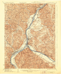
1929 · Point Pleasant
USGS Topo · 1:62,500
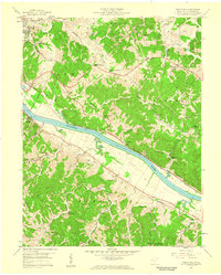
1957 · Beech Hill
USGS Topo · 1:24,000