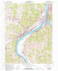
1958 Map of Gallipolis
USGS Topo · Published 1990About this map
The confluence of the Ohio River and Kanawha River serves as the focal point for this survey of the riverfront border between Ohio and West Virginia. On the Ohio side, the city of Gallipolis shows a dense urban grid featuring the Gallia Academy, a prominent Hospital, and the Gallipolis State Institute. The river landscape is characterized by maritime and industrial activity, including several Gravel Pits, the Gallipolis Island landform, and numerous ice breakers along the shore. Across the water in West Virginia, Point Pleasant sits at the northern point of the confluence, anchored by the Tu-Endie-Wei State Park.
Find a feature on this map
81 named features on this map. Tap any name to fly to it.
Don’t see what you’re looking for? This feature index may not catch every label — zoom into the map to look around manually.
Map Details
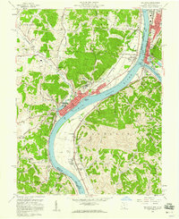
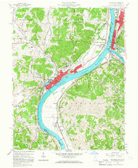
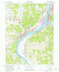
Editions of this 1958 Gallipolis Map
4 editions found
Other maps of this area

1906 · Bidwell
USGS Topo · 1:62,500

1906 · Athalia
USGS Topo · 1:62,500

1906 · Glenwood
USGS Topo · 1:62,500

1908 · Bidwell
USGS Topo · 1:62,500

1908 · Athalia
USGS Topo · 1:62,500

1908 · Glenwood
USGS Topo · 1:62,500

1908 · Point Pleasant
USGS Topo · 1:62,500

1926 · Point Pleasant
USGS Topo · 1:62,500

1929 · Point Pleasant
USGS Topo · 1:62,500

1957 · Beech Hill
USGS Topo · 1:24,000