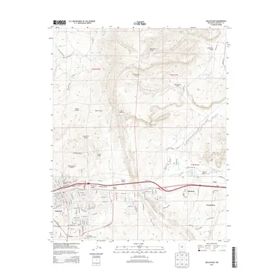
2013 Map of Gallup East
USGS Topo · Published 2013About this map
Gallup serves as the focal point of this region, where the BNSF Railway and Rte 66 follow the natural corridor of the Puerco River. The landscape is defined by massive geological formations, notably The Hogback and the striking White Cliffs that overlook the high desert terrain. Local institutions and community hubs are well-documented, including the Univ of New Mexico-Gallup Campus and the Rehoboth Ch, situated near the settlement of Rehoboth.
Find a feature on this map
110 named features on this map. Tap any name to fly to it.
Don’t see what you’re looking for? This feature index may not catch every label — zoom into the map to look around manually.
Map Details
Editions of this 2013 Gallup East Map
This is the sole edition of this map. No revisions or reprints were ever made.
Other maps of this area

1886 · Wingate
USGS Topo · 1:250,000

1892 · Wingate
USGS Topo · 1:250,000

1954 · Gallup
USGS Topo · 1:250,000

1958 · Gallup
USGS Topo · 1:250,000

1959 · Gallup
USGS Topo · 1:250,000

1962 · Gallup
USGS Topo · 1:250,000

1963 · Twin Lakes
USGS Topo · 1:24,000

1963 · Big Rock Hill
USGS Topo · 1:24,000

1963 · Twin Buttes
USGS Topo · 1:24,000

1963 · Gallup West
USGS Topo · 1:24,000