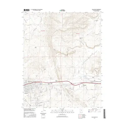
2017 Map of Gallup East
USGS Topo · Published 2017About this map
Gallup serves as the focal point of this 2017 survey, where the high desert landscape is defined by the drainage of the Puerco River and a dramatic series of geological formations. The town's grid expands toward the Univ of New Mexico Gallup Campus, while the surrounding terrain is heavily dissected by deep canyons, including Black Diamond Canyon, Rocky Cliff Canyon, and Sunshine Canyon. To the east, the community of Rehoboth sits near the striking vertical relief of The Hogback and the White Cliffs, which dominate the skyline north of the river valley.
Find a feature on this map
126 named features on this map. Tap any name to fly to it.
Don’t see what you’re looking for? This feature index may not catch every label — zoom into the map to look around manually.
Map Details
Editions of this 2017 Gallup East Map
This is the sole edition of this map. No revisions or reprints were ever made.
Other maps of this area

1886 · Wingate
USGS Topo · 1:250,000

1892 · Wingate
USGS Topo · 1:250,000

1954 · Gallup
USGS Topo · 1:250,000

1958 · Gallup
USGS Topo · 1:250,000

1959 · Gallup
USGS Topo · 1:250,000

1962 · Gallup
USGS Topo · 1:250,000

1963 · Twin Lakes
USGS Topo · 1:24,000

1963 · Big Rock Hill
USGS Topo · 1:24,000

1963 · Twin Buttes
USGS Topo · 1:24,000

1963 · Gallup West
USGS Topo · 1:24,000