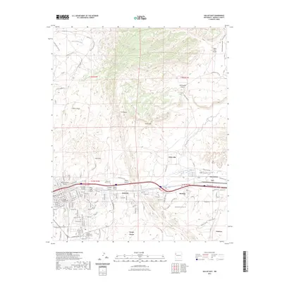
2023 Map of Gallup East
USGS Topo · Published 2023About this map
Gallup serves as the focal point of this regional study, anchored by the McKinley County Courthouse and the sprawling University of New Mexico Gallup Campus. The landscape is defined by the stark geology of The Hogback and the White Cliffs, with the Puerco River and its South Fork cutting through the valley. This 2023 survey documents the intersection of modern infrastructure and deep-rooted local history, from the Gallup State Veterans Cem to the older Rehoboth Mission Cem at Rehoboth.
Find a feature on this map
125 named features on this map. Tap any name to fly to it.
Don’t see what you’re looking for? This feature index may not catch every label — zoom into the map to look around manually.
Map Details
Editions of this 2023 Gallup East Map
This is the sole edition of this map. No revisions or reprints were ever made.
Other maps of this area

1886 · Wingate
USGS Topo · 1:250,000

1892 · Wingate
USGS Topo · 1:250,000

1954 · Gallup
USGS Topo · 1:250,000

1958 · Gallup
USGS Topo · 1:250,000

1959 · Gallup
USGS Topo · 1:250,000

1962 · Gallup
USGS Topo · 1:250,000

1963 · Twin Lakes
USGS Topo · 1:24,000

1963 · Big Rock Hill
USGS Topo · 1:24,000

1963 · Twin Buttes
USGS Topo · 1:24,000

1963 · Gallup West
USGS Topo · 1:24,000