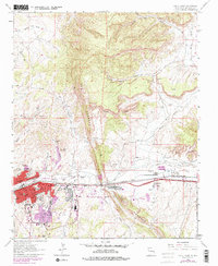
1979 Map of Gallup East
USGS Topo · Published 1985About this map
The Hogback dominates this landscape, a striking geological ridge that bisects the terrain east of Gallup. By the late 1970s, the urban footprint of Gallup had expanded significantly, noted in purple revisions that show the growth of residential and industrial sectors along the Puerco River. This map documents a critical intersection of transportation and industry, where the Atchison Topeka And Santa Fe railroad and Route 66 parallel the river through the heart of town.
Find a feature on this map
48 named features on this map. Tap any name to fly to it.
Don’t see what you’re looking for? This feature index may not catch every label — zoom into the map to look around manually.
Map Details
Editions of this 1979 Gallup East Map
This is the sole edition of this map. No revisions or reprints were ever made.
Other maps of this area

1886 · Wingate
USGS Topo · 1:250,000

1892 · Wingate
USGS Topo · 1:250,000

1954 · Gallup
USGS Topo · 1:250,000

1958 · Gallup
USGS Topo · 1:250,000

1959 · Gallup
USGS Topo · 1:250,000

1962 · Gallup
USGS Topo · 1:250,000

1963 · Twin Lakes
USGS Topo · 1:24,000

1963 · Big Rock Hill
USGS Topo · 1:24,000

1963 · Twin Buttes
USGS Topo · 1:24,000

1963 · Gallup West
USGS Topo · 1:24,000