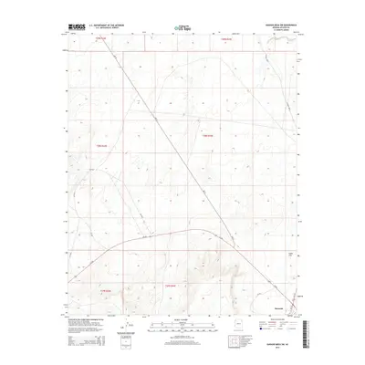
2014 Map of Ganado Mesa SW
USGS Topo · Published 2014About this map
Burnside serves as a primary point of reference in this high-desert landscape of the Navajo Nation during the early twenty-first century. Located at the intersection of Us-191 and Az-264, the area illustrates a modern transportation network superimposed over traditional land divisions. The terrain is defined by drainage systems like Bi-Keesh Wash and relatively level expanses such as Snake Flat, showing the importance of topographic features in an arid environment. Bureau of Indian Affairs routes, including Bia-25 and Bia-15, crisscross the townships of T28N R25E and T27N R25E, providing essential access to this part of the Fort Defiance Agency. The 20-foot contour intervals reveal the subtle rises and depressions that characterize the mesa's southwest approach, offering researchers a precise look at the land's form and infrastructure at this moment in 2014.
Find a feature on this map
17 named features on this map. Tap any name to fly to it.
Don’t see what you’re looking for? This feature index may not catch every label — zoom into the map to look around manually.
Map Details
Editions of this 2014 Ganado Mesa SW Map
This is the sole edition of this map. No revisions or reprints were ever made.
Other maps of this area
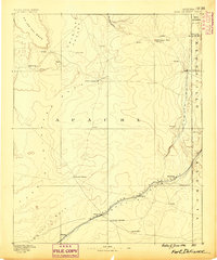
1886 · Fort Defiance
USGS Topo · 1:250,000
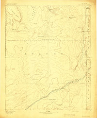
1892 · Fort Defiance
USGS Topo · 1:250,000

1954 · Gallup
USGS Topo · 1:250,000
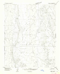
1955 · Ganado 1 NE
USGS Topo · 1:24,000

1958 · Gallup
USGS Topo · 1:250,000

1959 · Gallup
USGS Topo · 1:250,000
1962 · Gallup
USGS Topo · 1:250,000
1967 · Gallup
USGS Topo · 1:250,000
1972 · Steamboat Canyon
USGS Topo · 1:24,000
1972 · Tolani
USGS Topo · 1:24,000