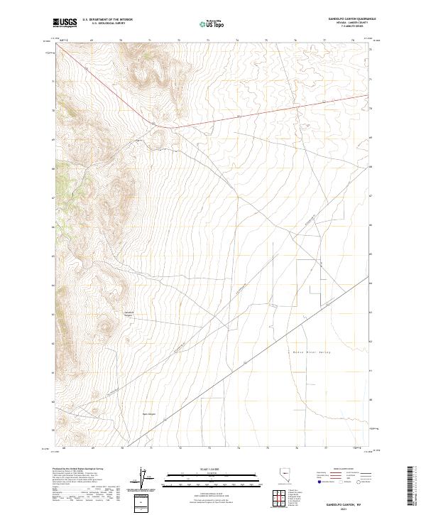
2021 Map of Gandolfo Canyon
USGS Topo · Published 2021About this map
Gandolfo Canyon and Ryan Canyon descend from the western uplands toward the broad, flat expanse of the Reese River Valley in this central Nevada study. The landscape is defined by the historic corridor of the Old Overland Rd, which cuts diagonally across the basin, tracing a path that once served as a vital mid-continental transit route. This 2021 update from the U.S. Geological Survey documents the intersection of this historic trail with modern local infrastructure like Rd 215. The grid layout of the Public Land Survey System, including t18n r42e, remains the primary legal framework for the high desert terrain, preserving the relationship between the dramatic canyon topography and the open valley floor.
Find a feature on this map
9 named features on this map. Tap any name to fly to it.
Don’t see what you’re looking for? This feature index may not catch every label — zoom into the map to look around manually.
Map Details
Editions of this 2021 Gandolfo Canyon Map
This is the sole edition of this map. No revisions or reprints were ever made.
Other maps of this area

1955 · Millett
USGS Topo · 1:250,000

1956 · Austin
USGS Topo · 1:62,500

1959 · Millett
USGS Topo · 1:250,000

1969 · Mount Airy
USGS Topo · 1:24,000

1969 · Vigus Butte
USGS Topo · 1:24,000

1969 · Gandolfo Canyon
USGS Topo · 1:24,000

1969 · Mount Airy Mesa
USGS Topo · 1:24,000

1969 · Emigrant Peak
USGS Topo · 1:24,000

1969 · Dutch Flat
USGS Topo · 1:24,000

1969 · Iron Mountain
USGS Topo · 1:24,000