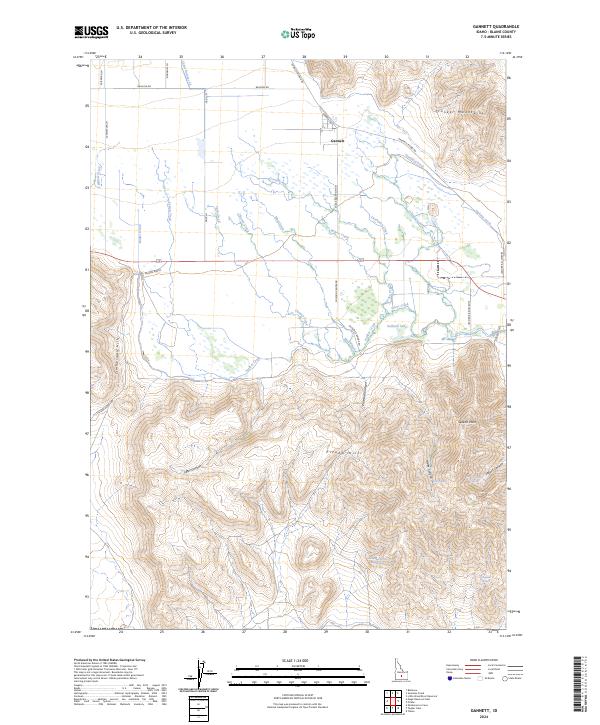
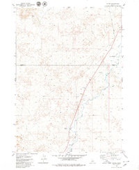
2024 Map of Gannett
USGS Topo · Published 2024About this map
Gannett sits at the heart of an intricate water management system where natural streams and man-made infrastructure converge. The landscape is defined by the transition from the high elevations of the Pioneer Mountains and Picabo Hills to the fertile valley floor. A complex network of irrigation features, including Canal Number 45, Stanfield Ditch, and Highline Ditch, demonstrates the region's reliance on diverted water for agriculture. These channels interlace with natural waterways like Silver Creek and Stalker Creek, creating a distinct riparian pattern across the flats.
Find a feature on this map
46 named features on this map. Tap any name to fly to it.
Don’t see what you’re looking for? This feature index may not catch every label — zoom into the map to look around manually.
Map Details
Editions of this 2024 Gannett Map
This is the sole edition of this map. No revisions or reprints were ever made.
Other maps of this area

1955 · Hailey
USGS Topo · 1:250,000

1957 · Bellevue
USGS Topo · 1:62,500

1957 · Bellevue
USGS Topo · 1:24,000

1959 · Hailey
USGS Topo · 1:250,000

1962 · Hailey
USGS Topo · 1:250,000

1979 · Shoshone Ice Cave
USGS Topo · 1:24,000
1979 · Tapper Lake
USGS Topo · 1:24,000
1979 · Gannett
USGS Topo · 1:24,000
1979 · Little Wood River Reservoir
USGS Topo · 1:24,000
1979 · Tikura
USGS Topo · 1:24,000