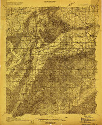
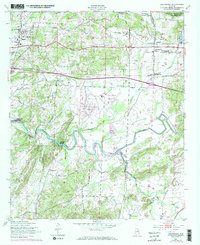
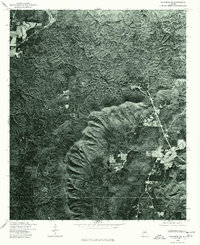
1915 Map of Gantts Quarry
USGS Topo · Published 1915This historical map portrays the area of Gantts Quarry in 1915, primarily covering Talladega County as well as portions of Shelby County and Coosa County. Featuring a scale of 1:48000, this map provides a highly detailed snapshot of the terrain, roads, buildings, counties, and historical landmarks in the Gantts Quarry region at the time. Published in 1915, it is one of 4 known editions of this map due to revisions or reprints.
Find a feature on this map
34 named features on this map. Tap any name to fly to it.
Don’t see what you’re looking for? This feature index may not catch every label — zoom into the map to look around manually.
Map Details
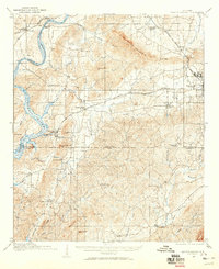
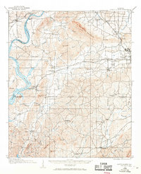
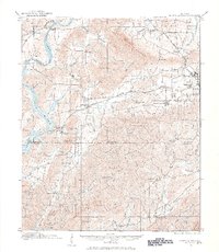
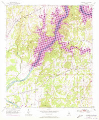
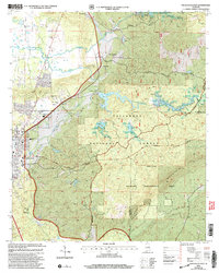
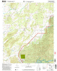
Editions of this 1915 Gantts Quarry Map
4 editions found
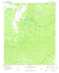
Historical Maps of Mount Sharon Through Time
23 maps found
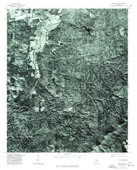
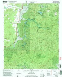
1915 Gantts Quarry
Talladega County, AL

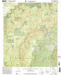
1917 Gantts Quarry
Talladega County, AL
1947 Eastaboga
Talladega County, AL
1951 Laniers
Talladega County, AL
1969 Ironaton
Talladega County, AL
1975 Gantts Quarry NW
Talladega County, AL

1975 Goodwater NW
Talladega County, AL
1975 Ironaton
Talladega County, AL
1975 Laniers
Talladega County, AL
1975 Talladega NE
Talladega County, AL
1975 Talladega NW
Talladega County, AL
1975 Talladega SE
Talladega County, AL
1975 Talladega SW
Talladega County, AL
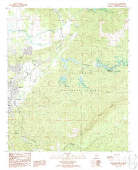
1980 Sylacauga West
Talladega County, AL
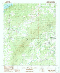
1983 Ironaton
Talladega County, AL
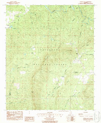
1984 Winterboro
Talladega County, AL
1987 Porter Gap
Talladega County, AL
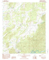
1987 Sleeping Giants
Talladega County, AL
1987 Sylacauga East
Talladega County, AL
2001 Ironaton
Talladega County, AL
2001 Porter Gap
Talladega County, AL
2001 Sylacauga East
Talladega County, AL
2001 Winterboro
Talladega County, AL