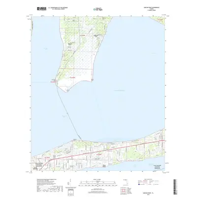
2018 Map of Garcon Point
USGS Topo · Published 2018About this map
Garcon Point extends into the meeting of Pensacola Bay, Escambia Bay, and East Bay, forming a narrow peninsula that dominates this Santa Rosa County coastal landscape. This 2018 survey illustrates the modern residential development of Tiger Point and Gulf Breeze along the southern corridor of Gulf Breeze Pkwy, contrasting with the more sparse, marshy layout of Dickerson City to the north.
Find a feature on this map
116 named features on this map. Tap any name to fly to it.
Don’t see what you’re looking for? This feature index may not catch every label — zoom into the map to look around manually.
Map Details
Editions of this 2018 Garcon Point Map
This is the sole edition of this map. No revisions or reprints were ever made.
Other maps of this area

1920 · Milton
USGS Topo · 1:62,500

1921 · Holley
USGS Topo · 1:62,500

1921 · Pensacola
USGS Topo · 1:62,500

1934 · Harold
USGS Topo · 1:62,500

1936 · Holley
USGS Topo · 1:48,000

1937 · Harold
USGS Topo · 1:62,500

1938 · Holley
USGS Topo · 1:62,500

1938 · Harold
USGS Topo · 1:62,500

1941 · Pensacola
USGS Topo · 1:62,500

1941 · Milton
USGS Topo · 1:62,500