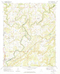
1969 Map of Garden City
USGS Topo · Published 1973About this map
The Mulberry Fork snakes through the terrain along the border of Cullman and Blount Counties, defining the geography of the Blountsville Valley and the surrounding ridges. During the late 1960s, this landscape was characterized by a network of rural church-centered communities and small-scale industry. The river’s dramatic course is marked by landmarks like Pumphouse Bend, the Narrows, and Georgia Bend.
Find a feature on this map
63 named features on this map. Tap any name to fly to it.
Don’t see what you’re looking for? This feature index may not catch every label — zoom into the map to look around manually.
Map Details
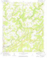
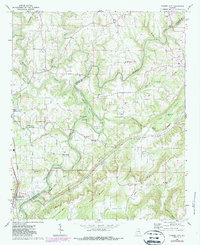
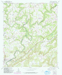
Editions of this 1969 Garden City Map
4 editions found
Other maps of this area

1888 · Cullman
USGS Topo · 1:125,000

1889 · Birmingham
USGS Topo · 1:125,000

1892 · Cullman
USGS Topo · 1:125,000

1892 · Birmingham
USGS Topo · 1:125,000

1895 · Birmingham
USGS Topo · 1:125,000

1907 · Birmingham
USGS Topo · 1:125,000

1936 · Holly Pond
USGS Topo · 1:24,000

1951 · Blount Springs
USGS Topo · 1:24,000

1953 · Birmingham
USGS Topo · 1:250,000

1956 · Birmingham
USGS Topo · 1:250,000