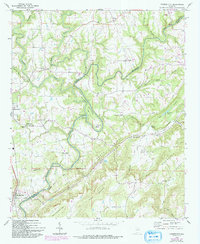
1969 Map of Garden City
USGS Topo · Published 1993About this map
The Mulberry Fork winds through a landscape defined by sharp ridges and deep river bends along the border of Cullman and Blount Counties. This late 1960s survey documents a rural Alabama community structured by its waterways and small-scale industry, as seen at Chamblees Mill and the striking river loop at Pumphouse Bend. The terrain is characterized by the prominent North Ridge and Sky Ball Mountain, with settlements like Garden City and Hanceville serving as local hubs.
Find a feature on this map
58 named features on this map. Tap any name to fly to it.
Don’t see what you’re looking for? This feature index may not catch every label — zoom into the map to look around manually.
Map Details
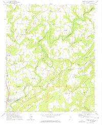
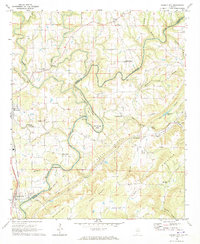
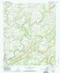
Editions of this 1969 Garden City Map
4 editions found
Other maps of this area

1888 · Cullman
USGS Topo · 1:125,000

1889 · Birmingham
USGS Topo · 1:125,000

1892 · Cullman
USGS Topo · 1:125,000

1892 · Birmingham
USGS Topo · 1:125,000

1895 · Birmingham
USGS Topo · 1:125,000

1907 · Birmingham
USGS Topo · 1:125,000

1936 · Holly Pond
USGS Topo · 1:24,000

1951 · Blount Springs
USGS Topo · 1:24,000

1953 · Birmingham
USGS Topo · 1:250,000

1956 · Birmingham
USGS Topo · 1:250,000