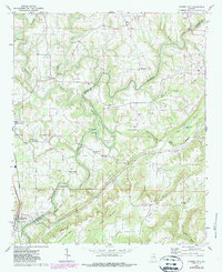
1969 Map of Garden City
USGS Topo · Published 1987About this map
The Mulberry Fork river carves a serpentine path through the heart of this landscape, creating dramatic geographical features like Pumphouse Bend and the sharp oxbow at Georgia Bend. Near the convergence of the river and the Seaboard Coast Line railroad, the community of Garden City serves as a primary hub. The terrain is defined by prominent elevations such as Ann Johnson Mtn and Bald Mountain, which overlook the agricultural and settlement patterns within the Blountsville Valley.
Find a feature on this map
58 named features on this map. Tap any name to fly to it.
Don’t see what you’re looking for? This feature index may not catch every label — zoom into the map to look around manually.
Map Details
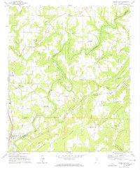
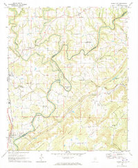
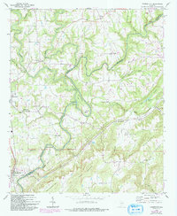
Editions of this 1969 Garden City Map
4 editions found
Other maps of this area

1888 · Cullman
USGS Topo · 1:125,000

1889 · Birmingham
USGS Topo · 1:125,000

1892 · Cullman
USGS Topo · 1:125,000

1892 · Birmingham
USGS Topo · 1:125,000

1895 · Birmingham
USGS Topo · 1:125,000

1907 · Birmingham
USGS Topo · 1:125,000

1936 · Holly Pond
USGS Topo · 1:24,000

1951 · Blount Springs
USGS Topo · 1:24,000

1953 · Birmingham
USGS Topo · 1:250,000

1956 · Birmingham
USGS Topo · 1:250,000