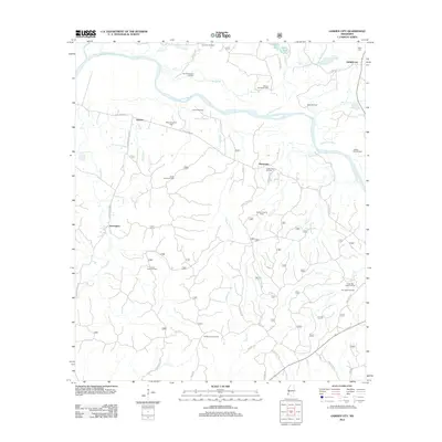
2012 Map of Garden City
USGS Topo · Published 2012About this map
The Homochitto River meanders across this landscape, defining a region where industrial activity meets a network of small settlements. This 2012 survey shows the extensive petroleum infrastructure of Wilkinson County, including the Deerfield Oil Field, Turkey Town Oil Field, and several others that dot the woodlands. These energy resources are interspersed with established local communities such as Garden City, Perrytown, Ireland, and Darrington. Cultural and historical markers like Mock Cem near Garden City and the Buffalo Lookout Tower in the south provide grounding points for local genealogy and history. The terrain is further defined by numerous water features such as Siloam Bayou, Pipe Lake, and Beaver Cr, which have likely shaped the development of early roads like Perrytown Rd and Turkey Creek Rd.
Find a feature on this map
54 named features on this map. Tap any name to fly to it.
Don’t see what you’re looking for? This feature index may not catch every label — zoom into the map to look around manually.
Map Details
Editions of this 2012 Garden City Map
This is the sole edition of this map. No revisions or reprints were ever made.
Other maps of this area

1936 · Woodville
USGS Topo · 1:62,500

1939 · Kingston
USGS Topo · 1:62,500

1953 · Natchez
USGS Topo · 1:250,000

1956 · Natchez
USGS Topo · 1:250,000

1958 · Woodville
USGS Topo · 1:62,500

1958 · Kingston
USGS Topo · 1:62,500

1959 · Natchez
USGS Topo · 1:250,000

1961 · Crosby
USGS Topo · 1:62,500

1961 · Gloster
USGS Topo · 1:62,500

1984 · Woodville
USGS Topo · 1:100,000