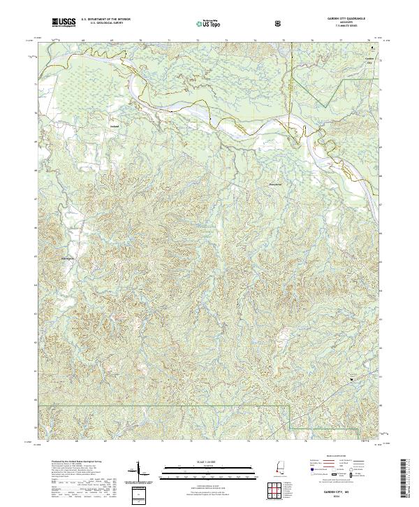
2024 Map of Garden City
USGS Topo · Published 2024About this map
Homochitto National Forest encompasses much of this landscape where the borders of Adams, Wilkinson, and Franklin counties meet. The winding course of the Homochitto River defines the northern section of the map, carving a path through a terrain of numerous bayous and creeks, including Hopkins Bayou and Siloam Bayou. Small settlements and family landmarks are scattered throughout this timbered region, such as Garden City in the northeast and Perrytown nestled further south.
Find a feature on this map
52 named features on this map. Tap any name to fly to it.
Don’t see what you’re looking for? This feature index may not catch every label — zoom into the map to look around manually.
Map Details
Editions of this 2024 Garden City Map
This is the sole edition of this map. No revisions or reprints were ever made.
Other maps of this area

1936 · Woodville
USGS Topo · 1:62,500

1939 · Kingston
USGS Topo · 1:62,500

1953 · Natchez
USGS Topo · 1:250,000

1956 · Natchez
USGS Topo · 1:250,000

1958 · Woodville
USGS Topo · 1:62,500

1958 · Kingston
USGS Topo · 1:62,500

1959 · Natchez
USGS Topo · 1:250,000

1961 · Crosby
USGS Topo · 1:62,500

1961 · Gloster
USGS Topo · 1:62,500

1984 · Woodville
USGS Topo · 1:100,000