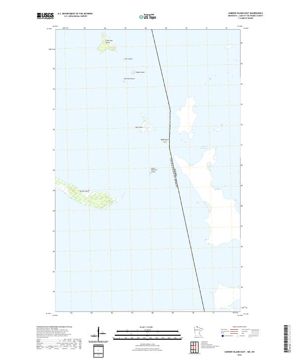
2022 Map of Garden Island East
USGS Topo · Published 2022About this map
Lake of the Woods defines this northernmost expanse of Minnesota, where the international boundary between CANADA and the UNITED STATES OF AMERICA cuts through open water and scattered islands. The map highlights a remote cluster of landforms including the elongated Garden Island and smaller outcrops such as Hay Island and Little Massacre Island. This 2022 survey accurately depicts the intricate shoreline and navigational hazards in the eastern reaches of the Garden Island chain.
Find a feature on this map
14 named features on this map. Tap any name to fly to it.
Don’t see what you’re looking for? This feature index may not catch every label — zoom into the map to look around manually.
Map Details
Editions of this 2022 Garden Island East Map
This is the sole edition of this map. No revisions or reprints were ever made.
Other maps of this area
1918 · Oak Island
USGS Topo · 1:62,500

1963 · Kenora
USGS Topo · 1:250,000
1967 · Flag Island
USGS Topo · 1:24,000
1967 · Garden Island West
USGS Topo · 1:24,000
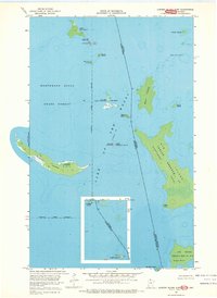
1967 · Garden Island East
USGS Topo · 1:24,000
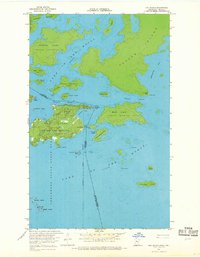
1967 · Oak Island
USGS Topo · 1:24,000
1985 · Oak Island
USGS Topo · 1:100,000
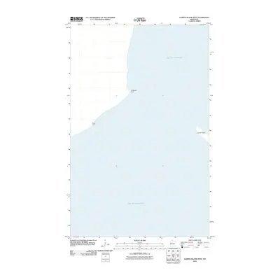
2010 · Garden Island West
USGS Topo · 1:24,000
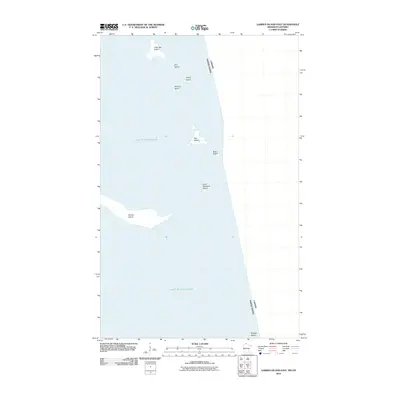
2010 · Garden Island East
USGS Topo · 1:24,000
2010 · Garden Island East OE S
USGS Topo · 1:24,000