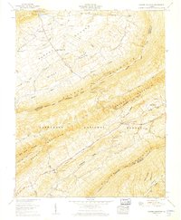
1958 Map of Garden Mountain
USGS Topo · Published 1960About this map
Burkes Garden forms a remarkable natural bowl in the Appalachian highlands, centered around the Burkes Garden (PO) and the small settlement of Little Town. This unique limestone sink, enclosed by the high ridges of Garden Mountain and Banks Ridge, creates a secluded agricultural enclave where local landmarks like Gose Mill and Stone Station mark the early industrial and transit history of the basin. The landscape is dotted with family legacies at Thompson Cem and Brown Cem, alongside spiritual centers such as Central Ch.
Find a feature on this map
58 named features on this map. Tap any name to fly to it.
Don’t see what you’re looking for? This feature index may not catch every label — zoom into the map to look around manually.
Map Details
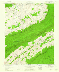
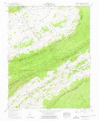
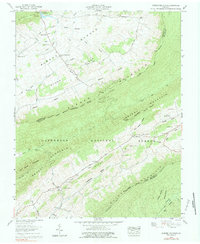
Editions of this 1958 Garden Mountain Map
4 editions found
Other maps of this area

1887 · Pocahontas
USGS Topo · 1:125,000

1889 · Wytheville
USGS Topo · 1:125,000

1891 · Pocahontas
USGS Topo · 1:125,000

1892 · Wytheville
USGS Topo · 1:125,000

1894 · Pocahontas
USGS Topo · 1:125,000

1895 · Pocahontas
USGS Topo · 1:125,000

1930 · Speedwell
USGS Topo · 1:62,500

1935 · Nebo
USGS Topo · 1:24,000
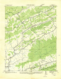
1935 · Tiptop
USGS Topo · 1:24,000
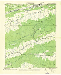
1935 · Nye Cove
USGS Topo · 1:24,000