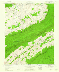
1958 Map of Garden Mountain
USGS Topo · Published 1960About this map
Burkes Garden occupies a unique geological bowl in the southwestern Virginia highlands, appearing here in the late 1950s with its self-contained network of farmsteads and rural institutions. The settlement pattern is anchored by Burkes Garden (PO) and Little Town, served by the Burkes Garden Sch and Central Ch. To the northwest, Goose Mill and Stone Station sit near The Gap, the sole natural entrance to this mountain-rimmed valley.
Find a feature on this map
57 named features on this map. Tap any name to fly to it.
Don’t see what you’re looking for? This feature index may not catch every label — zoom into the map to look around manually.
Map Details
Editions of this 1958 Garden Mountain Map
4 editions found
Other maps of this area

1887 · Pocahontas
USGS Topo · 1:125,000

1889 · Wytheville
USGS Topo · 1:125,000

1891 · Pocahontas
USGS Topo · 1:125,000

1892 · Wytheville
USGS Topo · 1:125,000

1894 · Pocahontas
USGS Topo · 1:125,000

1895 · Pocahontas
USGS Topo · 1:125,000

1930 · Speedwell
USGS Topo · 1:62,500

1935 · Nebo
USGS Topo · 1:24,000
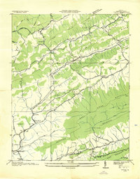
1935 · Tiptop
USGS Topo · 1:24,000
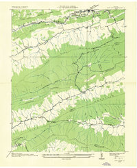
1935 · Nye Cove
USGS Topo · 1:24,000