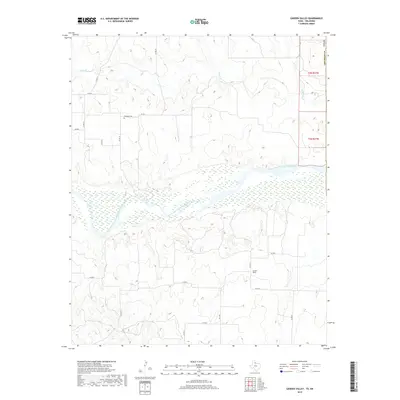
2019 Map of Garden Valley
USGS Topo · Published 2019About this map
The Prairie Dog Town Fork Red River dominates this landscape in Childress County, carving a wide, braided path through the Texas Panhandle terrain. Its broad sandy bed and associated wetlands contrast with the surrounding upland plateau, which is gridded by a network of rural roads including Co RD 19 and FM 1033. The small settlement of Garden Valley serves as a local point of reference in the southeastern portion of the map, while the lone Olympus Cem to the northwest offers a specific site for genealogical interest. Numerous small tributaries, such as Buck Cr, Setters Cr, and Whites Cr, drain into the river basin, illustrating the complex hydrology of this semi-arid region. The map also delineates the transition between t2n r27w and t1n r27w, providing essential structural data for property and land use research.
Find a feature on this map
24 named features on this map. Tap any name to fly to it.
Don’t see what you’re looking for? This feature index may not catch every label — zoom into the map to look around manually.
Map Details
Editions of this 2019 Garden Valley Map
This is the sole edition of this map. No revisions or reprints were ever made.
Other maps of this area

1954 · Plainview
USGS Topo · 1:250,000

1955 · Lawton
USGS Topo · 1:250,000

1958 · Plainview
USGS Topo · 1:250,000
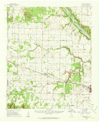
1960 · Goodlett
USGS Topo · 1:62,500
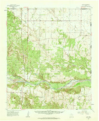
1960 · Loco
USGS Topo · 1:62,500
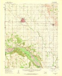
1961 · Hollis
USGS Topo · 1:62,500
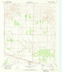
1967 · Kirkland North
USGS Topo · 1:24,000
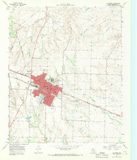
1967 · Childress
USGS Topo · 1:24,000
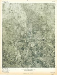
1975 · Hollis NW
USGS Topo · 1:24,000
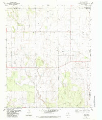
1984 · Arlie
USGS Topo · 1:24,000