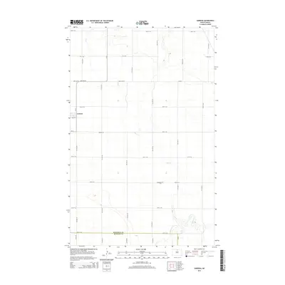
2014 Map of Gardena
USGS Topo · Published 2014About this map
Gardena occupies the northwestern corner of this prairie landscape, situated near the intersection of CR-47 and 3rd Ave E. The terrain is defined by the wandering paths of Oak Cr and Willow Cr, which snake through the eastern and southern sections of the township. This 2014 survey documents a strictly organized grid of agricultural roads, including Town Line Rd and Kramer Rd, that separate vast tracts of farmland. A notable point for local history is the Evangelical Cem, located along 86th St NE. This site, along with the proximity of the Bottineau Co McHenry Co line at the southern edge, illustrates the late-twentieth and early-twenty-first-century rural layout of this North Dakota region, where small settlements and cemeteries remain the primary landmarks in an expansive agricultural environment.
Find a feature on this map
30 named features on this map. Tap any name to fly to it.
Don’t see what you’re looking for? This feature index may not catch every label — zoom into the map to look around manually.
Map Details
Editions of this 2014 Gardena Map
This is the sole edition of this map. No revisions or reprints were ever made.
Other maps of this area
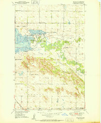
1950 · Upham SE
USGS Topo · 1:24,000
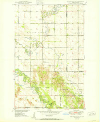
1950 · Willow City SW
USGS Topo · 1:24,000
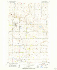
1954 · Omemee
USGS Topo · 1:24,000
1954 · Souris SE
USGS Topo · 1:24,000
1954 · Gardena
USGS Topo · 1:24,000
1954 · Willow City
USGS Topo · 1:24,000
1954 · Minot
USGS Topo · 1:250,000
1955 · Upham NE
USGS Topo · 1:24,000
1955 · Bottineau
USGS Topo · 1:24,000
1955 · Bottineau SE
USGS Topo · 1:24,000