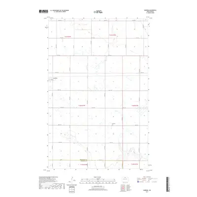
2017 Map of Gardena
USGS Topo · Published 2017About this map
Gardena stands as the primary settlement in this portion of the northern plains, situated near the intersection of 10th Ave NE and 89th St NE. The landscape is defined by the wandering paths of Oak Creek and Willow Creek, which carve through a grid of section lines and rural roads. A significant geopolitical boundary, the Bottineau County and McHenry County line, bisects the southern reaches of the map along 84th St NE. Evidence of early community life is found at the Evangelical Cemetery, located centrally along 13th Ave NE. The drainage patterns suggest a prairie pothole environment where seasonal water is common, particularly between Oak Creek and the surrounding township boundaries of t160n r76w and t160n r75w.
Find a feature on this map
32 named features on this map. Tap any name to fly to it.
Don’t see what you’re looking for? This feature index may not catch every label — zoom into the map to look around manually.
Map Details
Editions of this 2017 Gardena Map
This is the sole edition of this map. No revisions or reprints were ever made.
Other maps of this area
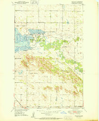
1950 · Upham SE
USGS Topo · 1:24,000
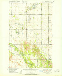
1950 · Willow City SW
USGS Topo · 1:24,000
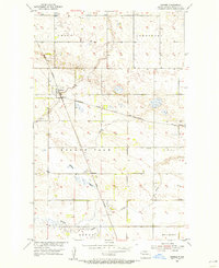
1954 · Omemee
USGS Topo · 1:24,000
1954 · Souris SE
USGS Topo · 1:24,000
1954 · Gardena
USGS Topo · 1:24,000
1954 · Willow City
USGS Topo · 1:24,000
1954 · Minot
USGS Topo · 1:250,000
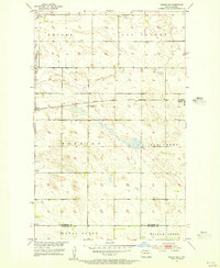
1955 · Upham NE
USGS Topo · 1:24,000
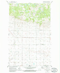
1955 · Bottineau
USGS Topo · 1:24,000
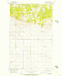
1955 · Bottineau SE
USGS Topo · 1:24,000