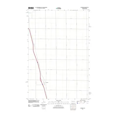
2011 Map of Gardner
USGS Topo · Published 2011About this map
Gardner serves as the primary settlement hub on this North Dakota plains landscape, positioned along the corridor of County Rd 81. The terrain is defined by a rigid section-line grid of rural routes, including 17th St SE and 167th Ave SE, which partition the agricultural expanse of Cass County. In the far northwestern corner, the Elm River meanders across the flat topography, providing a natural break in the geometric regularity of the surrounding fields and gravel roads. This 2011 survey illustrates the modern layout of the area, where high-capacity transportation routes parallel older local thoroughfares like 171st Ave SE, reflecting the sustained importance of the region's transport network for its grain-producing economy.
Find a feature on this map
17 named features on this map. Tap any name to fly to it.
Don’t see what you’re looking for? This feature index may not catch every label — zoom into the map to look around manually.
Map Details
Editions of this 2011 Gardner Map
This is the sole edition of this map. No revisions or reprints were ever made.
Other maps of this area

1918 · Kelso
USGS Topo · 1:62,500

1918 · Hendrum
USGS Topo · 1:62,500

1943 · Kelso
USGS Topo · 1:62,500

1952 · Grand Forks
USGS Topo · 1:250,000

1956 · Grand Forks
USGS Topo · 1:250,000

1963 · Georgetown
USGS Topo · 1:24,000
1963 · Argusville
USGS Topo · 1:24,000

1963 · Perley
USGS Topo · 1:24,000

1963 · Gardner
USGS Topo · 1:24,000

1963 · Halstad
USGS Topo · 1:24,000