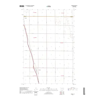
2018 Map of Gardner
USGS Topo · Published 2018About this map
Gardner sits at the southern edge of this section of the Red River Valley, serving as a primary focal point in Northern Cass County. The landscape is defined by the rigid geometry of the Public Land Survey System, with township lines like t143n r50w and t143n r49w carving the prairie into large agricultural tracts. The north-south corridor of Co Hwy 81 and the parallel rail line provide the primary infrastructure for the area's grain-based economy, connecting Gardner to Grandin further north. Near the northern margin, the Traill Co and Cass Co border runs along 12th St SE, marking a jurisdictional shift in this rural landscape. For those researching local history or genealogy, the inclusion of a Po in Gardner indicates the continued importance of the town's small civic center in a region otherwise dominated by section roads like 170 R Ave and 18 R St.
Find a feature on this map
33 named features on this map. Tap any name to fly to it.
Don’t see what you’re looking for? This feature index may not catch every label — zoom into the map to look around manually.
Map Details
Editions of this 2018 Gardner Map
This is the sole edition of this map. No revisions or reprints were ever made.
Other maps of this area
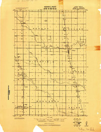
1918 · Kelso
USGS Topo · 1:62,500
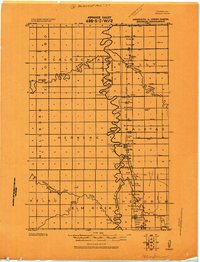
1918 · Hendrum
USGS Topo · 1:62,500
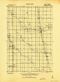
1943 · Kelso
USGS Topo · 1:62,500
1952 · Grand Forks
USGS Topo · 1:250,000
1956 · Grand Forks
USGS Topo · 1:250,000
1963 · Georgetown
USGS Topo · 1:24,000
1963 · Argusville
USGS Topo · 1:24,000
1963 · Perley
USGS Topo · 1:24,000
1963 · Gardner
USGS Topo · 1:24,000
1963 · Halstad
USGS Topo · 1:24,000