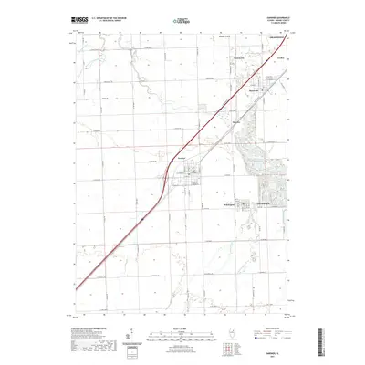
2021 Map of Gardner
USGS Topo · Published 2021About this map
Gardner serves as the central hub of this prairie landscape, where the diagonal path of the interstate and rail lines cuts through the rectilinear grid of county roads. The map reveals a dense cluster of small settlements along the northeastern corridor, including Braceville, Godley, and the outskirts of Braidwood. To the south, the adjoining communities of South Wilmington and East Brooklyn sit near the winding course of the Mazon River.
Find a feature on this map
72 named features on this map. Tap any name to fly to it.
Don’t see what you’re looking for? This feature index may not catch every label — zoom into the map to look around manually.
Map Details
Editions of this 2021 Gardner Map
This is the sole edition of this map. No revisions or reprints were ever made.
Other maps of this area
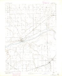
1892 · Morris
USGS Topo · 1:62,500
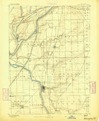
1892 · Wilmington
USGS Topo · 1:62,500
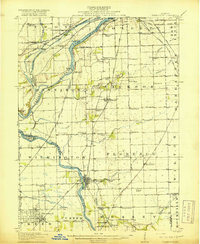
1918 · Wilmington
USGS Topo · 1:62,500
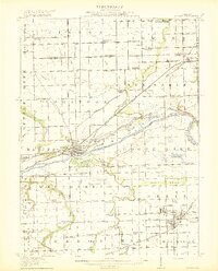
1918 · Morris
USGS Topo · 1:62,500
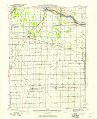
1923 · Herscher
USGS Topo · 1:62,500
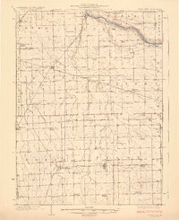
1925 · Herscher
USGS Topo · 1:62,500
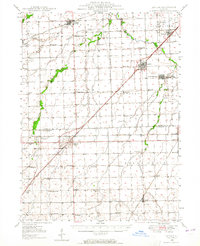
1948 · Dwight
USGS Topo · 1:62,500
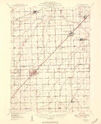
1950 · Dwight
USGS Topo · 1:62,500
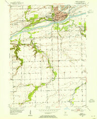
1953 · Morris
USGS Topo · 1:24,000
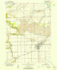
1953 · Coal City
USGS Topo · 1:24,000