
1953 Map of Coal City
USGS Topo · Published 1955About this map
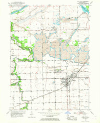
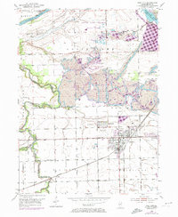
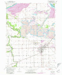
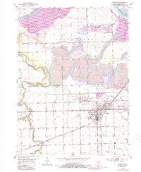
Strip mines and numerous mine dumps dominate this mid-century landscape in Grundy County, where the industrial extraction of coal reshaped the terrain between the Mazon River and the Kankakee River. The settlement pattern follows the intensive mining operations, with the towns of Coal City, Carbon Hill, Eileen, and Diamond clustered along the tracks of the Gulf Mobile and Ohio and the Atchison Topeka and Santa Fe railroads.
Find a feature on this map
37 named features on this map. Tap any name to fly to it.
Don’t see what you’re looking for? This feature index may not catch every label — zoom into the map to look around manually.
Map Details
Editions of this 1953 Coal City Map
5 editions found
Other maps of this area

1892 · Morris
USGS Topo · 1:62,500

1892 · Wilmington
USGS Topo · 1:62,500

1918 · Wilmington
USGS Topo · 1:62,500

1918 · Morris
USGS Topo · 1:62,500

1923 · Herscher
USGS Topo · 1:62,500

1925 · Herscher
USGS Topo · 1:62,500

1948 · Dwight
USGS Topo · 1:62,500

1950 · Dwight
USGS Topo · 1:62,500

1953 · Morris
USGS Topo · 1:24,000

1953 · Lisbon
USGS Topo · 1:24,000