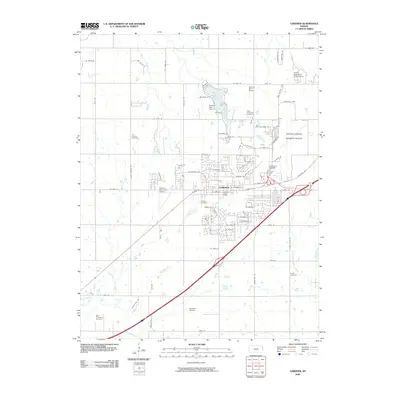
2009 Map of Gardner
USGS Topo · Published 2009About this map
Gardner serves as the focal point of this Johnson County landscape, characterized by a transition from suburban residential developments to the surrounding agricultural plains. The town center is flanked by a significant concentration of aviation infrastructure, including the Johnson County Industrial Airport and the Gardner Municipal Airport, alongside smaller private strips like Hermon Farm Airport and Burbank Airport. This density of runways reflects the region's historical and modern role in regional logistics and general aviation.
Find a feature on this map
88 named features on this map. Tap any name to fly to it.
Don’t see what you’re looking for? This feature index may not catch every label — zoom into the map to look around manually.
Map Details
Editions of this 2009 Gardner Map
This is the sole edition of this map. No revisions or reprints were ever made.
Other maps of this area

1885 · Lawrence
USGS Topo · 1:125,000

1887 · Olathe
USGS Topo · 1:125,000

1889 · Lawrence
USGS Topo · 1:125,000

1893 · Olathe
USGS Topo · 1:125,000

1935 · Olathe
USGS Topo · 1:24,000

1943 · Olathe
USGS Topo · 1:31,680

1947 · Lawrence
USGS Topo · 1:250,000

1950 · Lawrence
USGS Topo · 1:250,000

1951 · De Soto
USGS Topo · 1:24,000
1951 · Eudora
USGS Topo · 1:24,000