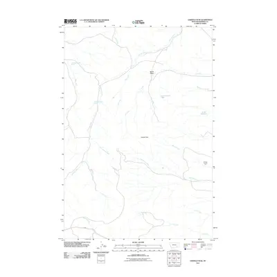
2011 Map of Garfield Peak
USGS Topo · Published 2011About this map
Garfield Peak anchors this landscape in the Ashland District of Rosebud County, where the high plains of eastern Montana are etched by a dense network of seasonal drainages and springs. The map documents a sparsely settled ranching and resource area, prominently featuring the Burning Coal Vein Area in the east—a site reflecting the region's underlying geological activity. Water sources are critical in this environment, with named points like 01S43E31CACD01 Spring and Fields Reservoir supporting the local economy.
Find a feature on this map
21 named features on this map. Tap any name to fly to it.
Don’t see what you’re looking for? This feature index may not catch every label — zoom into the map to look around manually.
Map Details
Editions of this 2011 Garfield Peak Map
This is the sole edition of this map. No revisions or reprints were ever made.
Other maps of this area

1954 · Hardin
USGS Topo · 1:250,000

1957 · Hardin
USGS Topo · 1:250,000

1958 · Hardin
USGS Topo · 1:250,000

1958 · Garfield Peak
USGS Topo · 1:24,000

1958 · Fisher Butte
USGS Topo · 1:24,000

1958 · Badger Peak
USGS Topo · 1:24,000

1958 · Hollowwood Creek
USGS Topo · 1:24,000

1966 · Ashland
USGS Topo · 1:24,000

1966 · Ashland NE
USGS Topo · 1:24,000

1971 · Colstrip SE
USGS Topo · 1:24,000