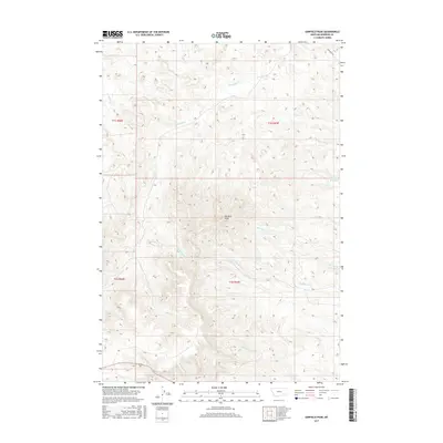
2017 Map of Garfield Peak
USGS Topo · Published 2017About this map
Garfield Peak rises as a central landmark in this portion of Rosebud County, Montana, anchoring a landscape defined by an intricate network of drainage basins and ridges. The topography is etched by numerous watercourses including Greenleaf Cr, Reservation Cr, and Hollowbreast Cr, which illustrate the complex watershed patterns of the Ashland District. The presence of Fields Reservoir in the northeast suggests localized water management in an area otherwise dominated by seasonal creeks and natural terrain.
Find a feature on this map
20 named features on this map. Tap any name to fly to it.
Don’t see what you’re looking for? This feature index may not catch every label — zoom into the map to look around manually.
Map Details
Editions of this 2017 Garfield Peak Map
This is the sole edition of this map. No revisions or reprints were ever made.
Other maps of this area

1954 · Hardin
USGS Topo · 1:250,000

1957 · Hardin
USGS Topo · 1:250,000

1958 · Hardin
USGS Topo · 1:250,000

1958 · Garfield Peak
USGS Topo · 1:24,000

1958 · Fisher Butte
USGS Topo · 1:24,000

1958 · Badger Peak
USGS Topo · 1:24,000

1958 · Hollowwood Creek
USGS Topo · 1:24,000

1966 · Ashland
USGS Topo · 1:24,000

1966 · Ashland NE
USGS Topo · 1:24,000

1971 · Colstrip SE
USGS Topo · 1:24,000