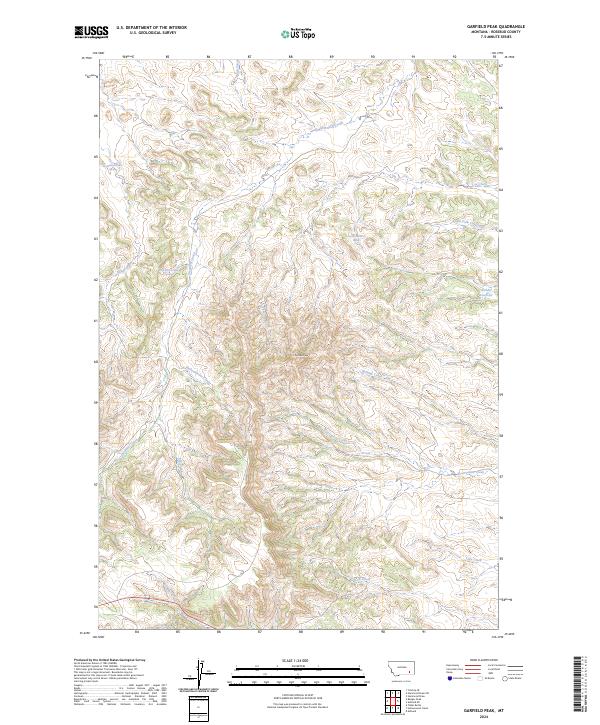
2024 Map of Garfield Peak
USGS Topo · Published 2024About this map
Garfield Peak rises as the central topographic focal point of this modern survey in Rosebud County, Montana. The landscape is defined by an intricate network of drainages and named watercourses that navigate the high country, including Hollowbreast Creek, Burning Creek, and Reservation Creek. These names reflect the local heritage and geography of the area, where water management is crucial as evidenced by the presence of Fields Reservoir in the eastern portion of the sheet.
Find a feature on this map
21 named features on this map. Tap any name to fly to it.
Don’t see what you’re looking for? This feature index may not catch every label — zoom into the map to look around manually.
Map Details
Editions of this 2024 Garfield Peak Map
This is the sole edition of this map. No revisions or reprints were ever made.
Other maps of this area

1954 · Hardin
USGS Topo · 1:250,000

1957 · Hardin
USGS Topo · 1:250,000

1958 · Hardin
USGS Topo · 1:250,000

1958 · Garfield Peak
USGS Topo · 1:24,000

1958 · Fisher Butte
USGS Topo · 1:24,000

1958 · Badger Peak
USGS Topo · 1:24,000

1958 · Hollowwood Creek
USGS Topo · 1:24,000

1966 · Ashland
USGS Topo · 1:24,000

1966 · Ashland NE
USGS Topo · 1:24,000

1971 · Colstrip SE
USGS Topo · 1:24,000