1964 Map of Garner
USGS Topo · Published 1987About this map
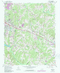
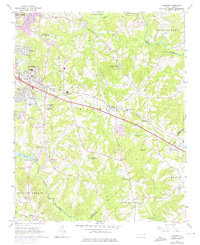
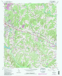
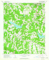
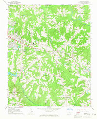
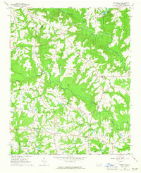
Garner serves as the primary hub of this North Carolina landscape, where the Southern railroad line cuts through the heart of the settlement. The map reveals a community deeply rooted in its local institutions, evidenced by the numerous country churches and family cemeteries that dot the outskirts, such as Ebenezer Ch and the Rand Cem. To the south, the waters of Lake Benson and Swift Creek define the drainage of the area, while the Neuse River winds across the northeastern corner near the community of Auburn.
Find a feature on this map
39 named features on this map. Tap any name to fly to it.
Don’t see what you’re looking for? This feature index may not catch every label — zoom into the map to look around manually.
Map Details
Editions of this 1964 Garner Map
4 editions found
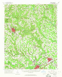
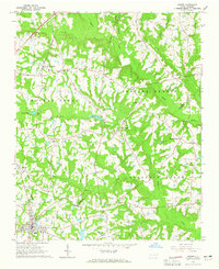
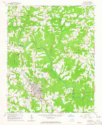
Other maps of this area

1943 · Raleigh
USGS Topo · 1:62,500

1951 · Raleigh
USGS Topo · 1:62,500

1953 · Raleigh
USGS Topo · 1:250,000

1954 · Raleigh
USGS Topo · 1:250,000
1964 · Lake Wheeler
USGS Topo · 1:24,000
1964 · Garner
USGS Topo · 1:24,000
1964 · Selma
USGS Topo · 1:62,500
1964 · Angier
USGS Topo · 1:24,000
1964 · Clayton
USGS Topo · 1:24,000
1964 · Edmondson
USGS Topo · 1:24,000