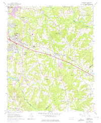
1964 Map of Garner
USGS Topo · Published 1976About this map
Garner and the Auburn community serve as the primary hubs in this mid-century portrait of suburban transition and agricultural heritage. The landscape is defined by the Southern railroad corridor and the winding course of Swift Creek, which feeds into Lake Benson. Local genealogy and family history are preserved through numerous family burial sites such as Hilliard Cem, Rand Cem, and Mitchiner Cem, scattered among rural church congregations like Hayes Chapel and Ebenezer Ch. Significant institutional footprints are visible at the State Agriculture Experiment Station and the Garner Consolidated High Sch. The map's 1970s revisions, shown in purple, illustrate the rapid residential expansion of neighborhoods like Cloverdale and Pine Hurst Park as they pushed outward from Raleigh.
Find a feature on this map
51 named features on this map. Tap any name to fly to it.
Don’t see what you’re looking for? This feature index may not catch every label — zoom into the map to look around manually.
Map Details
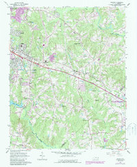
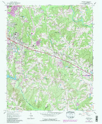
Editions of this 1964 Garner Map
4 editions found
Other maps of this area

1943 · Raleigh
USGS Topo · 1:62,500

1951 · Raleigh
USGS Topo · 1:62,500

1953 · Raleigh
USGS Topo · 1:250,000

1954 · Raleigh
USGS Topo · 1:250,000

1964 · Lake Wheeler
USGS Topo · 1:24,000

1964 · Garner
USGS Topo · 1:24,000

1964 · Selma
USGS Topo · 1:62,500

1964 · Angier
USGS Topo · 1:24,000

1964 · Clayton
USGS Topo · 1:24,000

1964 · Edmondson
USGS Topo · 1:24,000