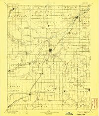
1894 Map of Garnett
USGS Topo · Published 1906About this map
Garnett serves as the central hub of this late-19th-century landscape, where a dense network of railroad corridors intersects. The map documents a critical era of Kansas expansion, showing the Missouri Pacific Railroad and the Atchison Topeka and Santa Fe R. R. (Southern Kansas Div.) threading through the eastern prairie. These rail lines facilitated the growth of numerous small prairie settlements such as Westphalia, Kincaid, and Colony.
Find a feature on this map
86 named features on this map. Tap any name to fly to it.
Don’t see what you’re looking for? This feature index may not catch every label — zoom into the map to look around manually.
Map Details
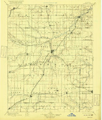
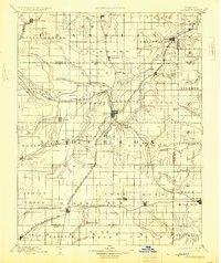
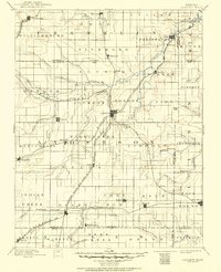
Editions of this 1894 Garnett Map
5 editions found

Other maps of this area

1884 · Fort Scott
USGS Topo · 1:125,000

1885 · Burlington
USGS Topo · 1:125,000

1885 · Garnett
USGS Topo · 1:125,000

1885 · Lawrence
USGS Topo · 1:125,000

1886 · Fredonia
USGS Topo · 1:125,000

1886 · Iola
USGS Topo · 1:125,000

1886 · Fort Scott
USGS Topo · 1:125,000

1887 · Olathe
USGS Topo · 1:125,000

1887 · Mound City
USGS Topo · 1:125,000

1889 · Burlingame
USGS Topo · 1:125,000