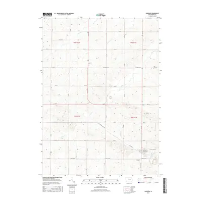
2015 Map of Garrison
USGS Topo · Published 2015About this map
Garrison anchors the southeastern corner of this map, situated amidst a landscape defined by an orderly grid of section lines and gravel roads in Benton County. The terrain is drained by several small watercourses, including Rock Cr, Spring Cr, and the branching Pratt Creek. This 2015 survey reveals a significant concentration of burial sites, which are essential for genealogical research in this rural Iowa township. Numerous family and community landmarks such as Fairview Cem, Urmy Cem, and Carlisle Grove Cem are scattered throughout the agricultural sections.
Find a feature on this map
37 named features on this map. Tap any name to fly to it.
Don’t see what you’re looking for? This feature index may not catch every label — zoom into the map to look around manually.
Map Details
Editions of this 2015 Garrison Map
This is the sole edition of this map. No revisions or reprints were ever made.
Other maps of this area
1954 · Waterloo
USGS Topo · 1:250,000
1955 · Waterloo
USGS Topo · 1:250,000
1963 · Eagle Center
USGS Topo · 1:24,000
1971 · Elberon
USGS Topo · 1:24,000
1971 · Van Horne
USGS Topo · 1:24,000
1971 · Dysart
USGS Topo · 1:24,000
1971 · La Porte City
USGS Topo · 1:24,000
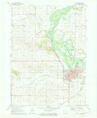
1971 · Vinton
USGS Topo · 1:24,000
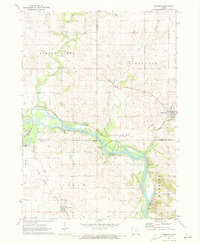
1971 · Brandon
USGS Topo · 1:24,000
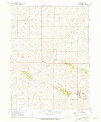
1971 · Garrison
USGS Topo · 1:24,000