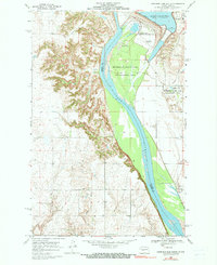
1969 Map of Garrison Dam South
USGS Topo · Published 1990About this map
The massive Garrison Dam anchors this landscape at the edge of Lake Sakakawea, where the North Dakota terrain is defined by the managed flow of the Missouri River. Built on the boundary of Mercer Co and Mc Lean Co, the dam's footprint includes the Garrison Dam National Fish Hatchery and a series of Sewage Disposal Ponds necessary for the support of nearby Riverdale. This survey documents the post-dam environment, highlighting recreational and utility infrastructure like the Riverdale No 1 Landing Strip, a Boat Ramp, and the Downstream Public Use Area.
Find a feature on this map
18 named features on this map. Tap any name to fly to it.
Don’t see what you’re looking for? This feature index may not catch every label — zoom into the map to look around manually.
Map Details
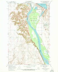
Editions of this 1969 Garrison Dam South Map
2 editions found
Other maps of this area

1922 · Garrison
USGS Topo · 1:62,500

1948 · Stanton
USGS Topo · 1:62,500

1949 · Stanton
USGS Topo · 1:62,500

1954 · McClusky
USGS Topo · 1:250,000

1958 · McClusky
USGS Topo · 1:250,000

1967 · Stanton SE
USGS Topo · 1:24,000

1967 · Emmet SE
USGS Topo · 1:24,000

1968 · Stanton
USGS Topo · 1:24,000

1968 · Hazen East
USGS Topo · 1:24,000

1969 · Hazen NE
USGS Topo · 1:24,000