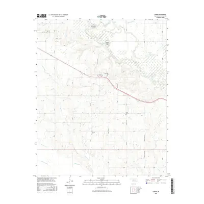
2016 Map of Garvin
USGS Topo · Published 2016About this map
Garvin serves as the central hub of this McCurtain County landscape, situated just north of the meandering Little River. The river's path is defined by sharp oxbows and distinctive landmarks like Possum Ford Bend and Rattlesnake Island, illustrating the complex hydrology of the bottomlands where Sink Lake Slough and Sunk Lake gather. The survey is particularly valuable for genealogical research, documenting several dispersed burial grounds including Wheelock Cem, Garvin Cem, Forest Hill Cem, and Waterhole Cem. These sites, along with the network of rural routes such as Madge Tyler Rd and Shirley Crossing Rd, trace the settlement patterns established long before modern development. Numerous drainages like Bokchito Cr, Whitegrass Cr, and Waterhole Cr crisscross the terrain, feeding into the river system and shaping the local agricultural and residential boundaries.
Find a feature on this map
30 named features on this map. Tap any name to fly to it.
Don’t see what you’re looking for? This feature index may not catch every label — zoom into the map to look around manually.
Map Details
Editions of this 2016 Garvin Map
This is the sole edition of this map. No revisions or reprints were ever made.
Other maps of this area
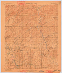
1901 · Alikchi
USGS Topo · 1:125,000
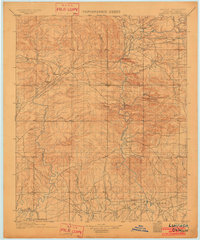
1902 · Lukfata
USGS Topo · 1:125,000
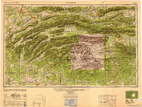
1950 · Mcalester
USGS Topo · 1:250,000
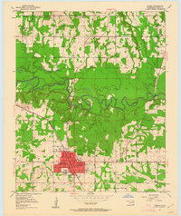
1950 · Idabel
USGS Topo · 1:24,000
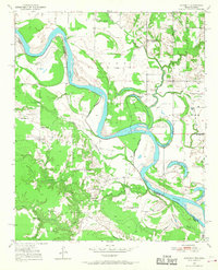
1950 · Acworth
USGS Topo · 1:24,000
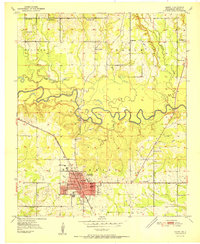
1951 · Idabel
USGS Topo · 1:24,000
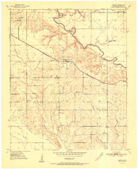
1951 · Garvin
USGS Topo · 1:24,000
1951 · Idabel SE
USGS Topo · 1:24,000
1951 · Acworth
USGS Topo · 1:24,000
1951 · Millerton
USGS Topo · 1:24,000