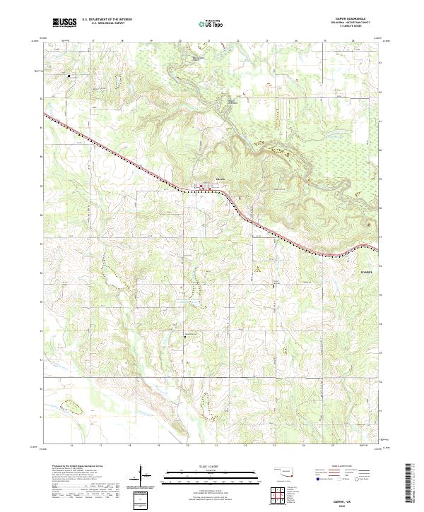
2022 Map of Garvin
USGS Topo · Published 2022About this map
The town of Garvin serves as the focal point for this survey of southeastern Oklahoma, situated just north of the winding Little River. The landscape is defined by the river’s complex hydrologic features, including the prominent oxbow at Possum Ford Bend and the low-lying wetlands of Sunk Lake and Sunk Lake Slough. In the northeast, Mohawk Lake and Rattlesnake Island further illustrate the bottomland character of the Red River basin tributaries.
Find a feature on this map
52 named features on this map. Tap any name to fly to it.
Don’t see what you’re looking for? This feature index may not catch every label — zoom into the map to look around manually.
Map Details
Editions of this 2022 Garvin Map
This is the sole edition of this map. No revisions or reprints were ever made.
Other maps of this area

1901 · Alikchi
USGS Topo · 1:125,000

1902 · Lukfata
USGS Topo · 1:125,000

1950 · Mcalester
USGS Topo · 1:250,000

1950 · Idabel
USGS Topo · 1:24,000

1950 · Acworth
USGS Topo · 1:24,000

1951 · Idabel
USGS Topo · 1:24,000

1951 · Garvin
USGS Topo · 1:24,000

1951 · Idabel SE
USGS Topo · 1:24,000

1951 · Acworth
USGS Topo · 1:24,000

1951 · Millerton
USGS Topo · 1:24,000