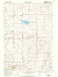
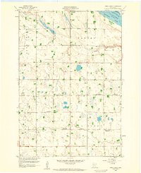
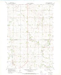
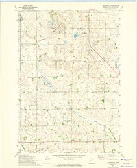
1967 Map of Gary NW
USGS Topo · Published 1968This historical map portrays the area of Gary NW in 1967, primarily covering Lac qui Parle County as well as portions of South Dakota. Featuring a scale of 1:24000, this map provides a highly detailed snapshot of the terrain, roads, buildings, counties, and historical landmarks in the Gary NW region at the time. Published in 1968, it is one of 4 known editions of this map due to revisions or reprints.
Find a feature on this map
22 named features on this map. Tap any name to fly to it.
Don’t see what you’re looking for? This feature index may not catch every label — zoom into the map to look around manually.
Map Details
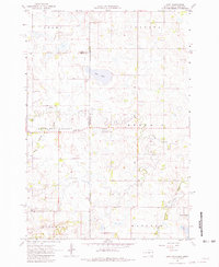
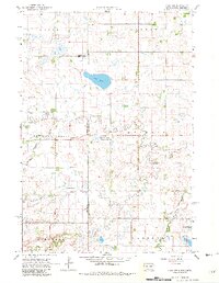
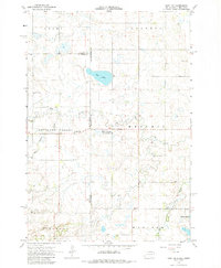
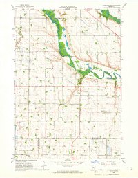
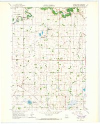
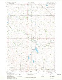
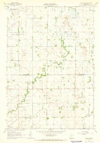
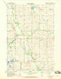
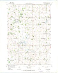
Editions of this 1967 Gary NW Map
4 editions found
Historical Maps of Deuel County Through Time
10 maps found
1958 Cerro Gordo
Lac qui Parle County, MN
1965 Clarkfield NE
Lac qui Parle County, MN
1965 Tenmile Lake
Lac qui Parle County, MN
1967 Dawson NW
Lac qui Parle County, MN
1967 Dawson SW
Lac qui Parle County, MN
1967 Gary SE
Lac qui Parle County, MN
1967 Mount Wickham
Lac qui Parle County, MN
1967 Providence
Lac qui Parle County, MN
1971 Haydenville
Lac qui Parle County, MN

1971 Rosen
Lac qui Parle County, MN
Featured Locations
- Lac qui Parle County, MN
- Grant County, SD
- Deuel County, SD
- Antelope Valley Township, SD
- Glenwood Township, SD