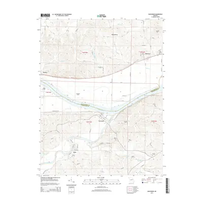
2015 Map of Gasconade
USGS Topo · Published 2015About this map
Gasconade sits at the confluence of the Gasconade River and the Missouri River, serving as a focal point for this river-valley landscape. The terrain is defined by a series of dramatic bluffs and tributary valleys, where creeks like Quick Cr and Cole Cr have carved into the high ground. The southern portion of the sheet features the rural community of Stolpe and numerous family-named burial sites, including the Lucas Cemetery and Doecher Cemetery, which offer valuable locations for genealogical research. North of the Missouri River, the former rail corridor is marked by the Katy Trl, connecting the historic settlements of Bluffton, Starkenburg, and Rhineland. This map illustrates the 21st-century configuration of these river towns, where traditional farming in the Best Bottom area meets modern infrastructure like the Eu-Wish Airport. The boundary between Montgomery and Gasconade counties follows the primary river channel, bisecting prominent landforms such as Heckman Island.
Find a feature on this map
83 named features on this map. Tap any name to fly to it.
Don’t see what you’re looking for? This feature index may not catch every label — zoom into the map to look around manually.
Map Details
Editions of this 2015 Gasconade Map
This is the sole edition of this map. No revisions or reprints were ever made.
Other maps of this area

1890 · Hermann
USGS Topo · 1:125,000

1890 · Fulton
USGS Topo · 1:125,000

1935 · Morrison
USGS Topo · 1:48,000

1936 · Hermann
USGS Topo · 1:48,000

1940 · Montgomery City
USGS Topo · 1:62,500

1942 · Montgomery City
USGS Topo · 1:62,500

1942 · Morrison
USGS Topo · 1:62,500

1942 · Hermann
USGS Topo · 1:62,500

1942 · New Florence
USGS Topo · 1:62,500

1945 · Hermann
USGS Topo · 1:62,500