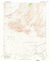
1952 Map of Gass Peak
USGS Topo · Published 1972About this map
The high peaks of the Sheep Range and Las Vegas Range define this high-desert landscape in the early 1950s. Rising above the desert floor, Gass Peak stands as a prominent landmark north of the expanding military infrastructure. The map reveals a transition from the natural water sources of the mountains, such as Mormon Wells, Quail Spring, and White Spot Spring, to the strictly controlled environments of the Nellis Air Force Range and Nellis Air Force Base.
Find a feature on this map
26 named features on this map. Tap any name to fly to it.
Don’t see what you’re looking for? This feature index may not catch every label — zoom into the map to look around manually.
Map Details
Editions of this 1952 Gass Peak Map
4 editions found
Other maps of this area

1886 · Saint Thomas
USGS Topo · 1:250,000

1893 · Saint Thomas
USGS Topo · 1:250,000

1907 · Las Vegas
USGS Topo · 1:250,000

1908 · Las Vegas
USGS Topo · 1:250,000

1926 · Boulder Canyon
USGS Topo · 1:96,000

1945 · Sheep Range
USGS Topo · 1:125,000

1952 · Corn Creek Springs
USGS Topo · 1:62,500

1952 · Gass Peak
USGS Topo · 1:62,500

1952 · Blue Diamond
USGS Topo · 1:62,500

1952 · Dry Lake
USGS Topo · 1:62,500