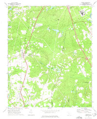
1972 Map of Gaston
USGS Topo · Published 1975About this map
Gaston and the surrounding piney woods of the South Carolina midlands appear here during the early 1970s, a period defined by rural educational centers and small-scale millponds. The landscape is marked by several established community hubs, including the Sandy Run Academy and its associated Sandy Run Academy Ch, as well as Travis Academy to the south. This era shows a transition in land use, where traditional landmarks like Moores Millpond and Huckabaas Millpond sit alongside modern infrastructure such as a Radio Tower, a Lookout Tower, and a large Pipeline corridor.
Find a feature on this map
42 named features on this map. Tap any name to fly to it.
Don’t see what you’re looking for? This feature index may not catch every label — zoom into the map to look around manually.
Map Details
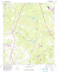
Editions of this 1972 Gaston Map
2 editions found
Other maps of this area

1944 · Edmund
USGS Topo · 1:62,500

1946 · Woodford
USGS Topo · 1:62,500

1946 · St. Matthews
USGS Topo · 1:62,500

1948 · Hopkins
USGS Topo · 1:62,500

1953 · Saylors Lake
USGS Topo · 1:24,000

1953 · Fort Jackson South
USGS Topo · 1:24,000

1954 · Augusta
USGS Topo · 1:250,000

1957 · Augusta
USGS Topo · 1:250,000

1958 · Augusta
USGS Topo · 1:250,000

1961 · Augusta
USGS Topo · 1:250,000