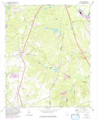
1972 Map of Gaston
USGS Topo · Published 1983About this map
Gaston serves as the central hub of this South Carolina landscape, situated along the Seaboard Coast Line railroad. The map reveals a transition between rural agriculture and industrial utility, marked by a prominent north-south Pipeline and multiple radio facilities. Water management and local industry are evident through features like Moores Millpond and Huckabaas Millpond, which define the drainage of Sandy Run. The social fabric of the era is captured in its educational and religious institutions, including Sandy Run Academy, Travis Academy, and churches like Little Zion Ch. The geography is characterized by distinct elevations such as Sand Mtn and recreational spaces like Camp Barstow and a local Golf Course. Moving toward the Lexington and Calhoun County boundary, the terrain becomes more fluid with numerous ponds and creeks like First Creek and Fourth Creek.
Find a feature on this map
41 named features on this map. Tap any name to fly to it.
Don’t see what you’re looking for? This feature index may not catch every label — zoom into the map to look around manually.
Map Details
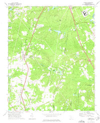
Editions of this 1972 Gaston Map
2 editions found
Other maps of this area

1944 · Edmund
USGS Topo · 1:62,500

1946 · Woodford
USGS Topo · 1:62,500

1946 · St. Matthews
USGS Topo · 1:62,500

1948 · Hopkins
USGS Topo · 1:62,500

1953 · Saylors Lake
USGS Topo · 1:24,000

1953 · Fort Jackson South
USGS Topo · 1:24,000

1954 · Augusta
USGS Topo · 1:250,000

1957 · Augusta
USGS Topo · 1:250,000

1958 · Augusta
USGS Topo · 1:250,000

1961 · Augusta
USGS Topo · 1:250,000