
1973 Map of Gates Corner
USGS Topo · Published 1976About this map
Beltrami Island State Forest defines this northern landscape, where dense timber and wetlands meet the northern boundary of the Red Lake Indian Reservation. The primary human footprint centers on the junction at Gates Corner, serving as a hub for a network of specialized routes designed for seasonal access through the muskeg and bog. The presence of a Winter Trail and Winter Road highlights the unique logistical challenges of the era, where certain terrains were only navigable during the frozen months. Local resource extraction is evidenced by scattered Gravel Pits, while the vast Red Lake State Wildlife Management Area underscores the region's focus on conservation and managed wilderness. Further inland, named routes like Jacks Parkway and Moose River Road provide the only reliable corridors through the thick forest cover.
Find a feature on this map
15 named features on this map. Tap any name to fly to it.
Don’t see what you’re looking for? This feature index may not catch every label — zoom into the map to look around manually.
Map Details
Editions of this 1973 Gates Corner Map
This is the sole edition of this map. No revisions or reprints were ever made.
Other maps of this area

1918 · Winterroad
USGS Topo · 1:62,500

1918 · F
USGS Topo · 1:62,500

1918 · Malcolm
USGS Topo · 1:62,500

1954 · Roseau
USGS Topo · 1:250,000

1957 · Roseau
USGS Topo · 1:250,000

1958 · Roseau
USGS Topo · 1:250,000

1968 · Mulligan Lake SW
USGS Topo · 1:24,000
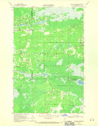
1968 · Mulligan Lake
USGS Topo · 1:24,000
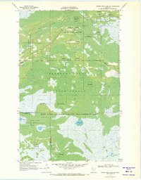
1969 · Winter Road Lake SW
USGS Topo · 1:24,000
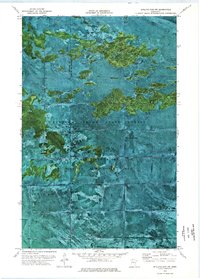
1973 · Shilling Dam NW
USGS Topo · 1:24,000