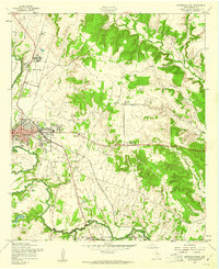
1957 Map of Gatesville East
USGS Topo · Published 1961About this map
The Leon River snakes through the western portion of this mid-century survey, anchoring the Coryell County seat at Gatesville. The landscape transitions from the urbanized center of town—marked by its Courthouse, Hospital, and Armory—to the institutional grounds of the Gatesville State School for Boys in the north and the expansive Fort Hood Military Reservation (North Fort Hood) to the south.
Find a feature on this map
35 named features on this map. Tap any name to fly to it.
Don’t see what you’re looking for? This feature index may not catch every label — zoom into the map to look around manually.
Map Details
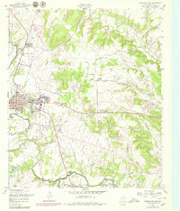
Editions of this 1957 Gatesville East Map
2 editions found
Other maps of this area

1888 · Meridian
USGS Topo · 1:125,000

1894 · Meridian
USGS Topo · 1:125,000

1894 · Gatesville
USGS Topo · 1:125,000

1947 · Purmela
USGS Topo · 1:62,500

1947 · Oglesby
USGS Topo · 1:24,000

1947 · Gatesville West
USGS Topo · 1:24,000
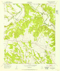
1947 · Leon Junction
USGS Topo · 1:24,000

1947 · North Fort Hood
USGS Topo · 1:24,000

1947 · Gatesville East
USGS Topo · 1:24,000

1947 · Shell Mountains
USGS Topo · 1:24,000