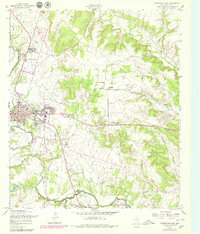
1957 Map of Gatesville East
USGS Topo · Published 1979About this map
The Leon River flows along the western edge of Gatesville, carving a valley that separates the town from the more dissected uplands of central Texas. This 1957 field-checked survey, updated in the late 1970s, documents the town as the county seat, highlighting the Courthouse and institutional landmarks like the Gatesville State School for Boys. To the south, the Fort Hood Military Reservation and North Fort Hood signify the significant military footprint in the region, including a Landing Strip and varied terrain labeled simply as Mountain. Transportation history is visible through several stretches of Old Railroad Grade and Grade, marking former rail lines that once connected these rural communities. Small settlements and points of interest like South Mountain and Fort Gates dot the landscape alongside quiet country sites such as Friendship Ch and the Odd Fellows Cem.
Find a feature on this map
43 named features on this map. Tap any name to fly to it.
Don’t see what you’re looking for? This feature index may not catch every label — zoom into the map to look around manually.
Map Details
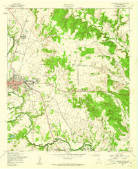
Editions of this 1957 Gatesville East Map
2 editions found
Other maps of this area

1888 · Meridian
USGS Topo · 1:125,000

1894 · Meridian
USGS Topo · 1:125,000

1894 · Gatesville
USGS Topo · 1:125,000

1947 · Purmela
USGS Topo · 1:62,500

1947 · Oglesby
USGS Topo · 1:24,000

1947 · Gatesville West
USGS Topo · 1:24,000
1947 · Leon Junction
USGS Topo · 1:24,000

1947 · North Fort Hood
USGS Topo · 1:24,000

1947 · Gatesville East
USGS Topo · 1:24,000

1947 · Shell Mountains
USGS Topo · 1:24,000