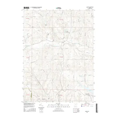
2016 Map of Gavers
USGS Topo · Published 2016About this map
Salineville sits along the southern edge of this Columbiana County landscape, where the town’s street grid meets the winding course of Little Yellow Creek. The area is characterized by a high density of rural burial grounds, including Saint Patricks Cem and Woodland Cem, which provide significant data points for genealogical research in this part of eastern Ohio. Further north, the small crossroads of Gavers serves as a central hub for the surrounding township roads.
Find a feature on this map
112 named features on this map. Tap any name to fly to it.
Don’t see what you’re looking for? This feature index may not catch every label — zoom into the map to look around manually.
Map Details
Editions of this 2016 Gavers Map
This is the sole edition of this map. No revisions or reprints were ever made.
Other maps of this area

1904 · Wellsville
USGS Topo · 1:62,500

1905 · Salineville
USGS Topo · 1:62,500

1907 · Columbiana
USGS Topo · 1:62,500

1909 · Lisbon
USGS Topo · 1:62,500

1909 · Columbiana
USGS Topo · 1:62,500

1937 · Wellsville
USGS Topo · 1:62,500

1944 · Wellsville
USGS Topo · 1:62,500

1951 · Canton
USGS Topo · 1:250,000

1953 · Canton
USGS Topo · 1:250,000

1957 · Canton
USGS Topo · 1:250,000