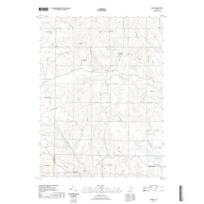
2019 Map of Gavers
USGS Topo · Published 2019About this map
The rugged hill country of Columbiana County is documented here, showing the deep drainages of the West Fork Little Beaver Creek and its many tributaries. The area is marked by a dense concentration of early religious and burial sites, including the Wayne Township Methodist Episcopal Cem and Saint Pauls Cem. These landmarks, along with family-named locations like Lee Cem and Morgan Cem, offer a rich field for genealogical research in a landscape defined by its winding township roads and steep relief. Industrial footprints remain visible through the Industrial Mining Lake and the site of Dobson Mill on the creek. Settlement patterns center on the villages of Gavers, Highlandtown, and the northern edge of Salineville. To the southeast, the Highlandtown Reservoir and Highlandtown Wildlife Area Pond indicate a shift toward conservation and recreation in the modern era.
Find a feature on this map
76 named features on this map. Tap any name to fly to it.
Don’t see what you’re looking for? This feature index may not catch every label — zoom into the map to look around manually.
Map Details
Editions of this 2019 Gavers Map
This is the sole edition of this map. No revisions or reprints were ever made.
Other maps of this area
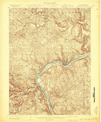
1904 · Wellsville
USGS Topo · 1:62,500
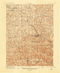
1905 · Salineville
USGS Topo · 1:62,500
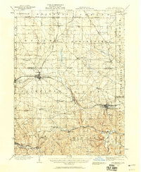
1907 · Columbiana
USGS Topo · 1:62,500
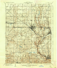
1909 · Lisbon
USGS Topo · 1:62,500
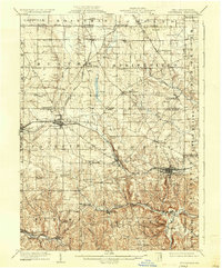
1909 · Columbiana
USGS Topo · 1:62,500
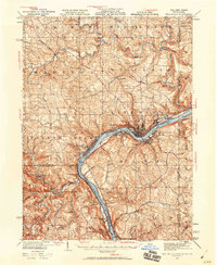
1937 · Wellsville
USGS Topo · 1:62,500
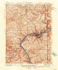
1944 · Wellsville
USGS Topo · 1:62,500
1951 · Canton
USGS Topo · 1:250,000
1953 · Canton
USGS Topo · 1:250,000
1957 · Canton
USGS Topo · 1:250,000