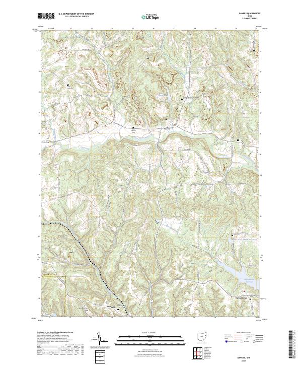
2023 Map of Gavers
USGS Topo · Published 2023About this map
The hills of southern Columbiana County are defined by the winding waters of West Fork Little Beaver Creek and the high point at Walnut Ridge. This landscape reveals a deep history of rural life, anchored by the village of Salineville and the smaller settlement of Gavers. The area's genealogical value is significant, with numerous family and community burial grounds including Saint Pauls Cem, Morgan Cem, and the Wayne Township Methodist Episcopal Cem marking the locations of early congregations.
Find a feature on this map
71 named features on this map. Tap any name to fly to it.
Don’t see what you’re looking for? This feature index may not catch every label — zoom into the map to look around manually.
Map Details
Editions of this 2023 Gavers Map
This is the sole edition of this map. No revisions or reprints were ever made.
Other maps of this area

1904 · Wellsville
USGS Topo · 1:62,500

1905 · Salineville
USGS Topo · 1:62,500

1907 · Columbiana
USGS Topo · 1:62,500

1909 · Lisbon
USGS Topo · 1:62,500

1909 · Columbiana
USGS Topo · 1:62,500

1937 · Wellsville
USGS Topo · 1:62,500

1944 · Wellsville
USGS Topo · 1:62,500

1951 · Canton
USGS Topo · 1:250,000

1953 · Canton
USGS Topo · 1:250,000

1957 · Canton
USGS Topo · 1:250,000