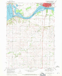
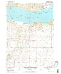
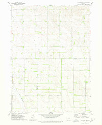
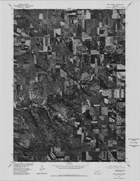
1968 Map of Gavins Point Dam
USGS Topo · Published 1971This historical map portrays the area of Gavins Point Dam in 1968, primarily covering Knox County as well as portions of South Dakota. Featuring a scale of 1:24000, this map provides a highly detailed snapshot of the terrain, roads, buildings, counties, and historical landmarks in the Gavins Point Dam region at the time. Published in 1971, it is one of 2 known editions of this map due to revisions or reprints.
Find a feature on this map
41 named features on this map. Tap any name to fly to it.
Don’t see what you’re looking for? This feature index may not catch every label — zoom into the map to look around manually.
Map Details
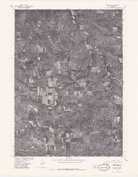
Editions of this 1968 Gavins Point Dam Map
2 editions found
Historical Maps of Cedar County Through Time
18 maps found
1950 Pishelville
Knox County, NE
1950 Verdigre NE
Knox County, NE
1954 Walnut
Knox County, NE
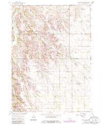
1963 Orchard NE
Knox County, NE
1963 Orchard NW
Knox County, NE

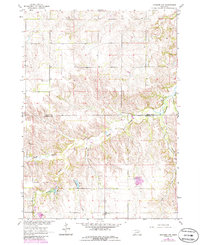
1968 Bloomfield NE
Knox County, NE
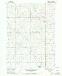
1968 Bloomfield SE
Knox County, NE
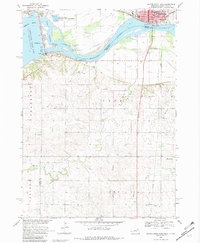
1968 Gavins Point Dam
Knox County, NE
1968 Tabor SE
Knox County, NE
1974 Center East
Knox County, NE
1974 Center West
Knox County, NE
1974 Howe Creek
Knox County, NE
1974 Plainview NE
Knox County, NE
1974 Sparta
Knox County, NE
1977 Center East
Knox County, NE
1977 Center West
Knox County, NE
1977 Howe Creek
Knox County, NE
1977 Sparta
Knox County, NE